
01
Photograph each tree
Three to five photos: the whole tree, the base, the crown and any damage you can see.
From Trajanus · Storm-ready tree risk triage
Before the storm: which tree is the real danger to your house?
TREE-iage is an app we are developing for residents and for municipalities. Photograph each tree, answer a few questions, and get a storm-specific ranking of which trees to have looked at first, with each tree's likely fall direction, using the forecast for your address.
Status: in development. The scoring engine is built; the app is next.
Every hurricane season, homeowners across Florida and the Gulf Coast look at the trees around the house and ask which one is coming down.
Arborists are booked solid the week before a storm. Adjusters and disaster aid arrive after the damage. Dangerous trees stay standing while healthy ones get cut in a panic. Nobody helps you put them in order before it matters.
01
Three to five photos: the whole tree, the base, the crown and any damage you can see.
02
Lean, cracks, dead wood, root problems, and what is close enough to be hit.
03
The forecast wind and gusts for your address come in automatically from the National Weather Service.
04
Every tree scored and ranked Immediate, High, Moderate or Low, on a map with its likely fall direction.
What the list shows
Every tree is scored and ranked Immediate, High, Moderate or Low, on a map with its likely fall direction.
In development
We are building TREE-iage in two parts: a phone app for people looking after their own trees, and a map view for the cities and counties looking after thousands of them.
RESIDENTS · THE PHONE APP
Homeowners, landlords and HOAs photograph their trees and get a ranked list for the storm that is coming: which trees to have an arborist look at first, and which way each one would likely fall.
MUNICIPALITIES · THE MAP VIEW (PLANNED)
Cities and counties see where tall trees stand close to homes, roads and public buildings, send crews or volunteers to check the blocks that rank highest, and put the results on a map in their own ArcGIS, ready to plan trimming and removals before hurricane season.
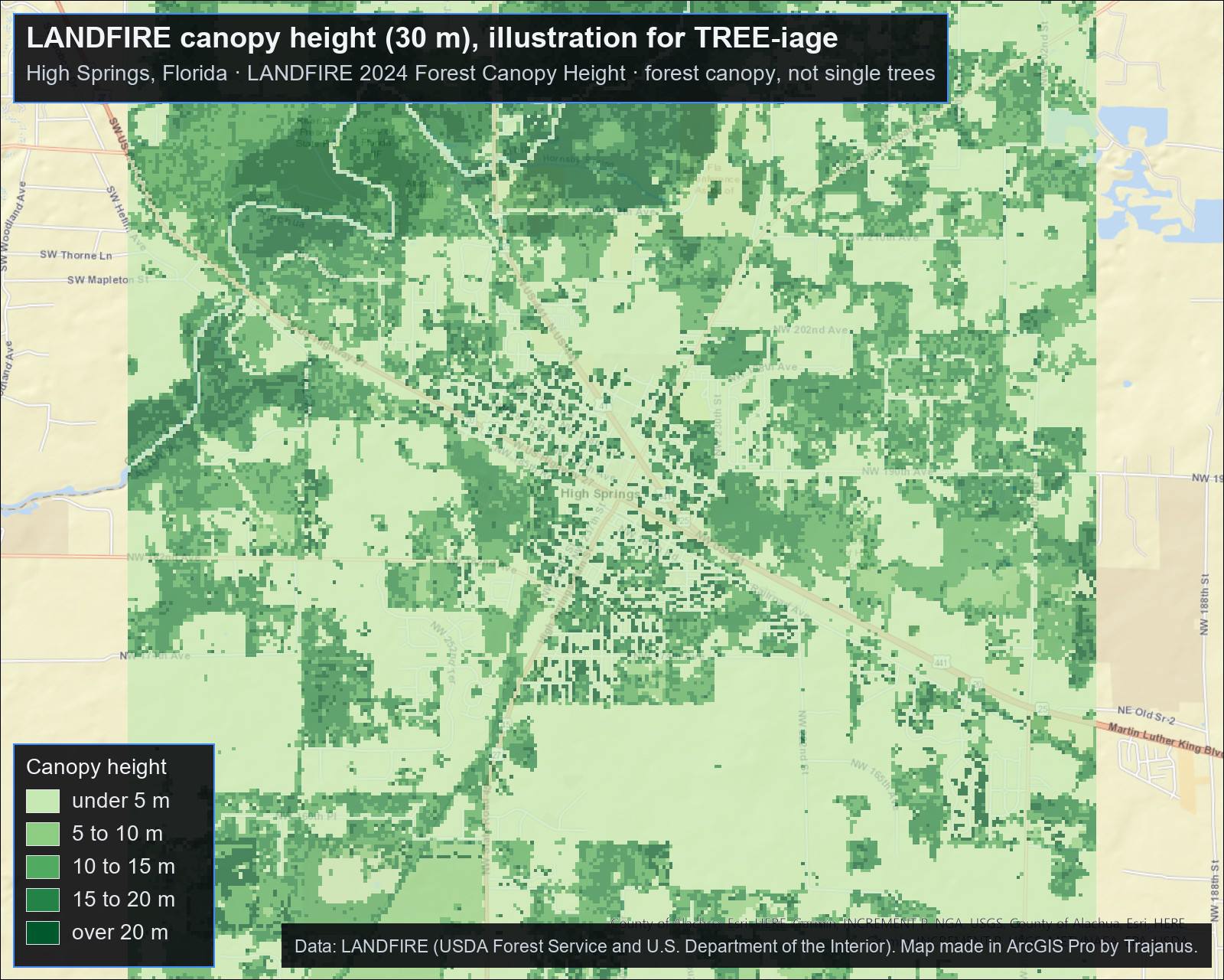
LANDFIRE's national 30-metre maps of canopy cover and canopy height are two of the layers Osborne uses for wildland fire, and its vegetation-type map shows what grows where. For a resident they show the forest canopy around an address, not single trees; for a municipality they show where the tall canopy sits across the jurisdiction. The field checks then tell us which individual trees matter.
Built in High Springs, Florida, and tested on real trees. Want to try it when it is ready, or pilot the map view in your town?