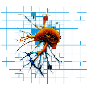
BEFORE
LiDAR maps the fuels
A LiDAR flight over the unit measures the canopy and surface fuels the model will burn through.
2027 Field Program · Arizona and Colorado
Wildfire records come slowly: one mapped outline a night, the weather inferred, the fuels taken from national maps. A prescribed burn can be measured from start to finish. In 2027 we will measure prescribed burns in Arizona and Colorado and score Osborne against what actually happened.
Status: planned for 2027. Partners and funding are being arranged.
BEFORE
A LiDAR flight over the unit measures the canopy and surface fuels the model will burn through.
DURING
Thermal imaging records the fire front minutes apart, every frame on GPS time, with wind and humidity measured on the unit.
AFTER
A second LiDAR flight shows what the fire consumed and changed.
THEN
Osborne runs the burn twice, with the national fuel maps and with our measured ones, and both runs are scored against the record.
We come as invited research cooperators. The land manager's burn boss runs the burn, holds the permits and directs every aircraft. We never light fire, and our measurements never change how a burn is run.
Drones fly only as a written part of the agency's operation, and give way to all crewed aircraft. Crew positions are never streamed publicly. The data is shared with the land manager under the agreement we sign together.
Diagram · not a photo · how a burn is measured
LiDAR maps the fuel before the burn.
Thermal records the fire as it burns.
LiDAR maps what burned after the burn.
Osborne's model (dashed) against what burned (solid).
Diagram, not a photo: LiDAR before, thermal during, LiDAR after, and Osborne scored against what burned.
In Arizona and Colorado, with burns we could join as cooperators.
To advise on aircraft and sensors, and to fly with us.
Fire behavior, remote sensing and GIS researchers who want to work on the data.
Grant programs and investors in wildfire resilience.